

Other
Offered at
$399,900
- Lot area
- 8.76 acres
MLS® 2476999
Listed by Easy List Realty

The property
About this property.
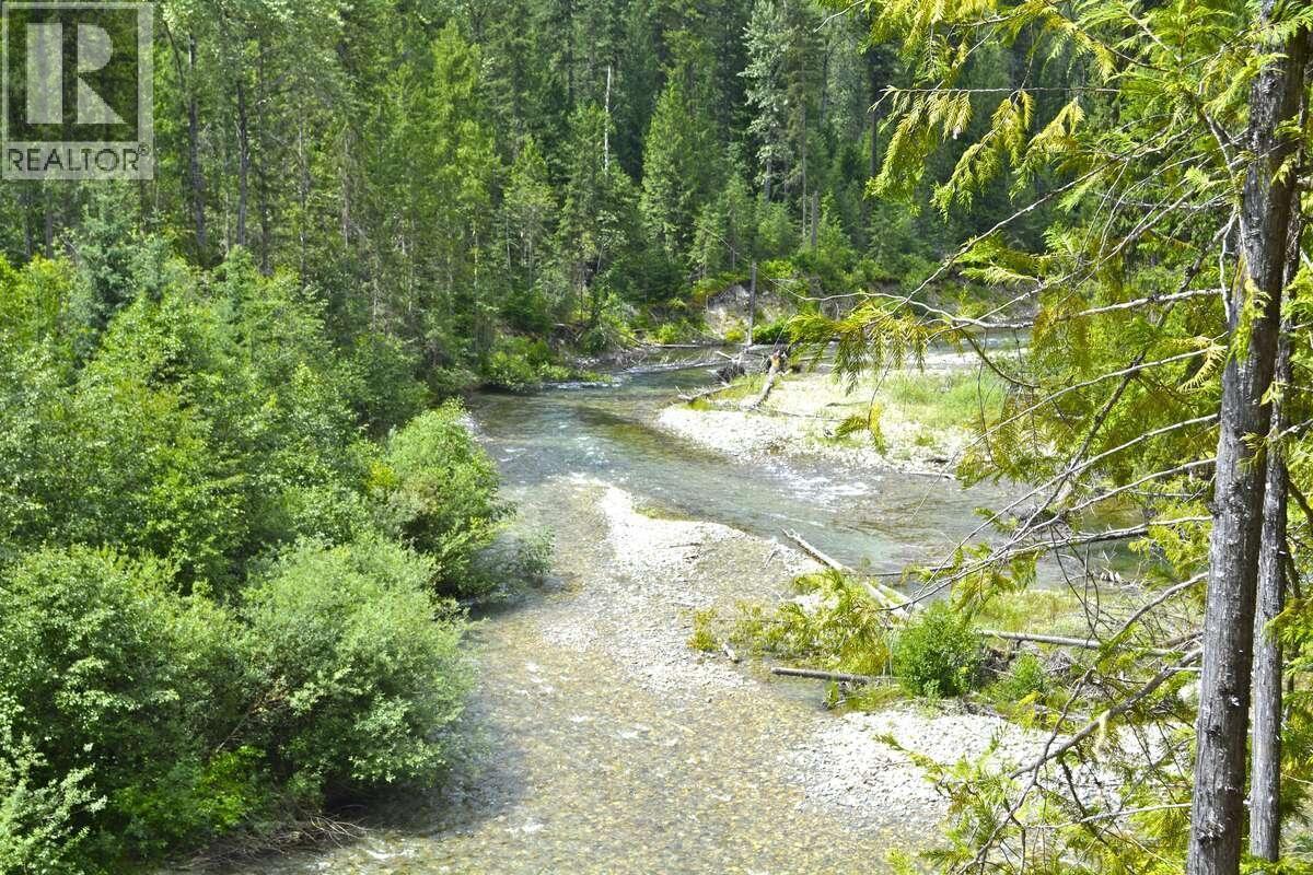
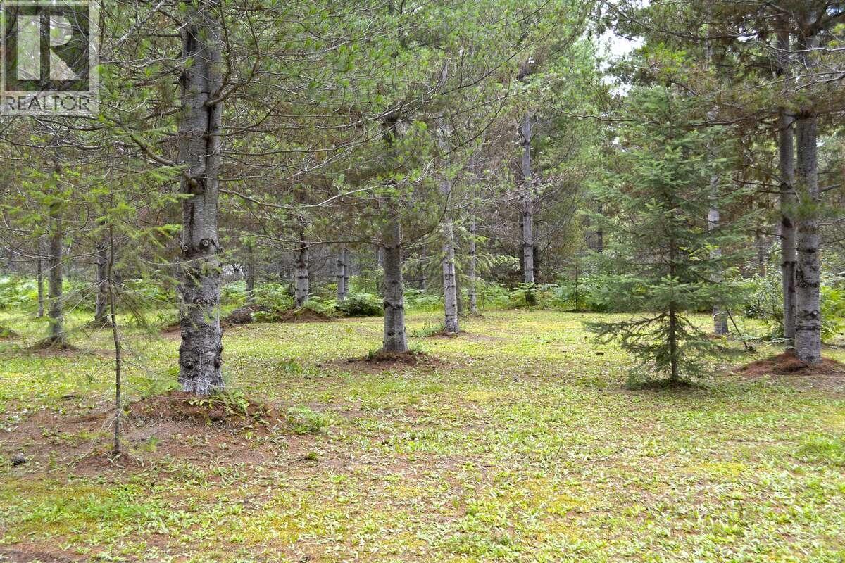
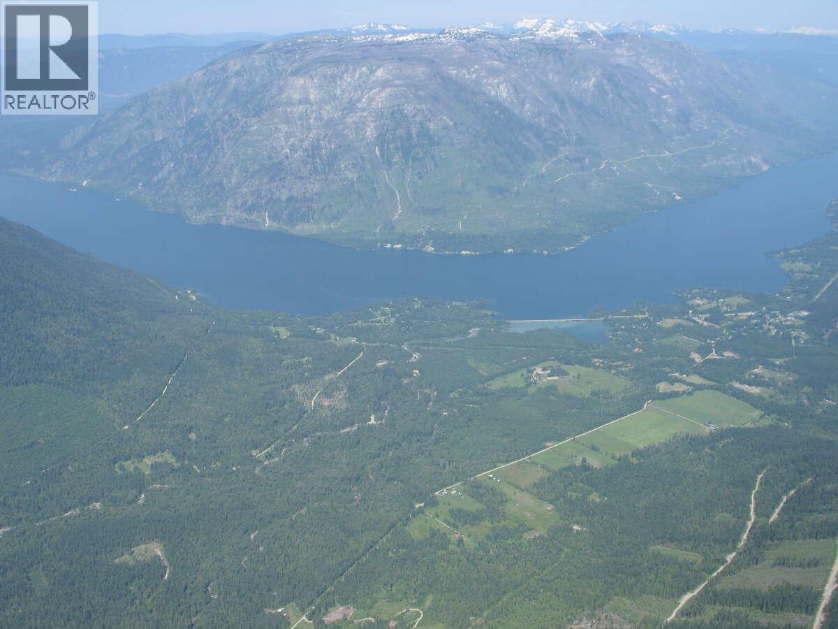
For more information, please click on Brochure button below. 8.76 Acres of flat, treed, private, west facing, land in beautiful Burton, BC on the Arrow Lakes. Lot 12 is the only remaining property of 12 Lots in Burton Bay Acreages. With Caribou Creek bordering this properties north border, and Burton Creek Bordering the west border, you are nestled in the ultimate of privacy with a magnificent view of the Arrow Lake. This property faces due west for maximum sun exposure. BC Hydro electricity is to the Lot line, offering quick and easy access to this key amenity. The cell service is excellent, due to the recently installed cell tower roughly 1 km away. There are both natural and commercial Hot Springs in the area, offering the opportunity for the ultimate in relaxation. There is a golf course in Fauquier (10 minute drive) and a golf course in Nakusp (20 minute drive). There are two boat launches located in Burton for those wishing to launch a boat and access the magnificent Arrow Lake. Nakusp is also the location for all amenities including groceries, gas, restaurants, liquor store, hospital and RCMP. Vernon is a quick 1.5 hour drive for those seeking quick getaway. Don't miss this opportunity. (id:67648)
The particulars
Property details.
Details below are supplied by the listing feed. Confirm measurements, rights, fees and taxes for the particular property.
Property and layout
- Property type
- Vacant Land
- Structure
- Other
Ownership and costs
- Ownership
- Freehold
- Annual property tax
- $448 (tax year not supplied)
Land and parking
- Lot area
- 8.76 acres
- Lot dimensions, as supplied
- 8.76
- Lot features
- Level lot, Private setting, Treed, Corner Site
Comfort and construction
- Heating
- No heat
Setting and services
- Community features
- Family Oriented
- View, as supplied
- Lake view, Mountain view, Valley view, View (panoramic)
- Water supply
- None
Location details
- Area
- Nakusp Rural
- City
- Burton
- Province
- British Columbia
- Postal code
- V0G1E0
The setting
Explore
the location.
Explore the map or open Google Maps for directions. The marker uses the listing address and does not indicate property boundaries.
Source record updated 9 Sep 2026, 19:30 UTC.