

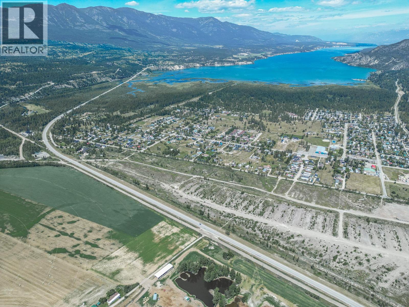
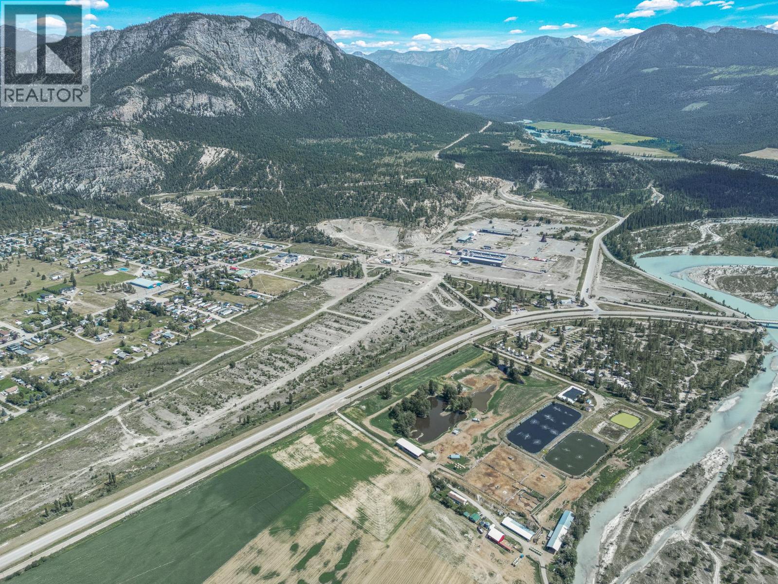
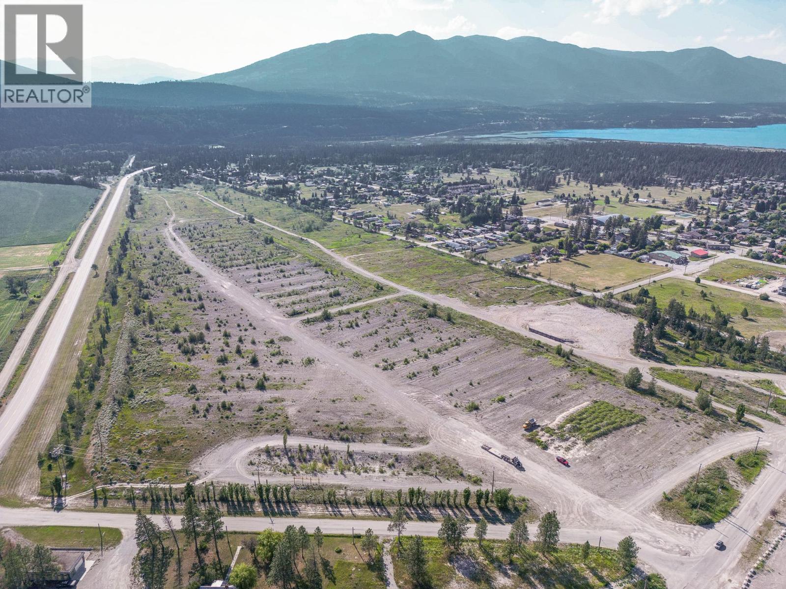
Other
Offered at
$5,999,999
- Lot area
- 73.06 acres
MLS® 10394304
Listed by Royal LePage Rockies West

The property
About this property.
4980 Baillie Grohman Avenue presents a truly unique opportunity to acquire one of the most versatile and strategically located parcels in the Columbia Valley. With Master Planned Mixed-Use zoning and over 2,000 feet of Highway 93/95 frontage, this property offers exceptional exposure, flexibility, and development potential unlike anything else currently available in Canal Flats. Designed to support a wide range of commercial, residential, recreational, and tourism-oriented uses, this zoning creates the opportunity to bring an ambitious vision to life. Potential permitted uses include mixed-use development, multi-unit residential, tourist accommodation, retail, office, food and beverage services, breweries and distilleries, farmers markets, indoor recreation and entertainment, art galleries and studios, museums, education facilities, daycare centers, health and medical services, horticulture, vehicle sales and service, and more. With its expansive acreage, exceptional highway exposure, and flexible zoning framework, this property is ideally suited for developers, investors, and visionaries looking to create a destination, community hub, or large-scale mixed-use project in a growing region. Opportunities of this scale, location, and zoning flexibility are exceptionally rare. This property offers the space, visibility, and potential to shape the future of Canal Flats. (id:67648)
The particulars
Property details.
Details below are supplied by the listing feed. Confirm measurements, rights, fees and taxes for the particular property.
Property and layout
- Property type
- Vacant Land
- Structure
- Other
Ownership and costs
- Ownership
- Freehold
- Annual property tax
- $54,386.82 (tax year not supplied)
Land and parking
- Lot area
- 73.06 acres
- Lot dimensions, as supplied
- 73.06
- Lot features
- Level lot
Setting and services
- Community features
- High Traffic Area
- Utilities
- Electricity, Telephone
- Water supply
- See Remarks
- Sewer
- See remarks
Location details
- Area
- Canal Flats
- City
- Canal Flats
- Province
- British Columbia
- Postal code
- v0b1b0
The setting
Explore
the location.
Explore the map or open Google Maps for directions. The marker uses the listing address and does not indicate property boundaries.
Source record updated 17 Jul 2026, 22:55 UTC.