
Business
Offered at
$22,900,000
MLS® 1046280
Listed by B.C. Farm & Ranch Realty Corp.

The property
About this property.
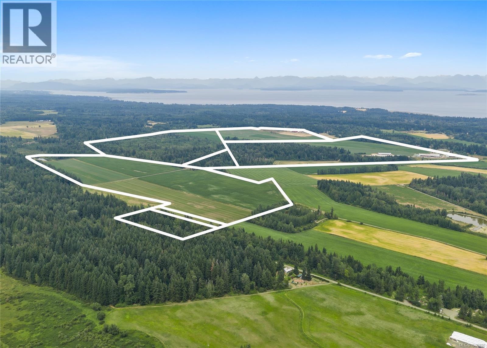
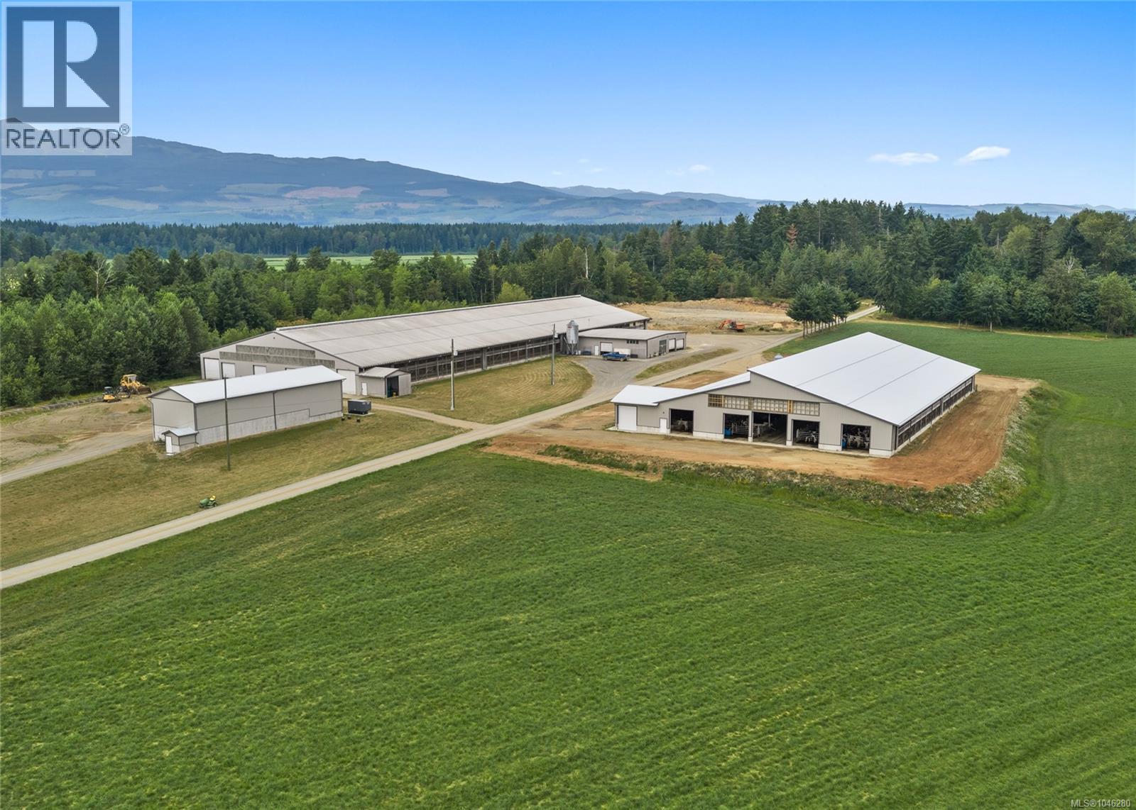
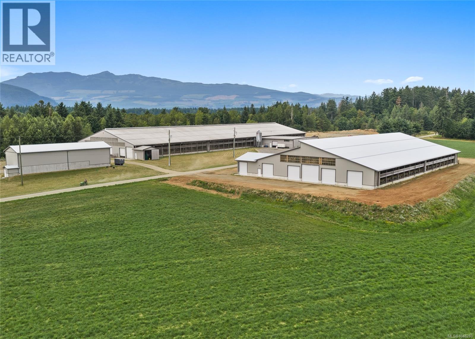
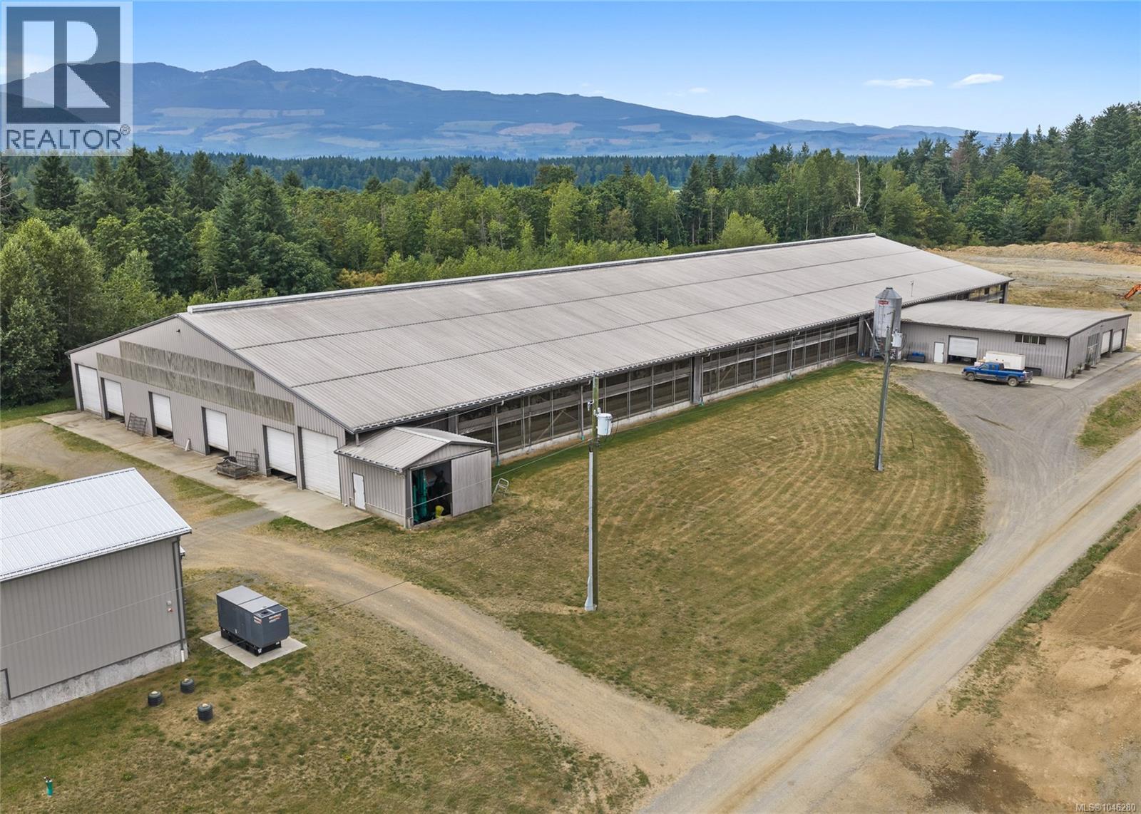
Exceptional opportunity to acquire a large scale dairy farm in Black Creek, BC. This six parcel package totals approx.785.12 acres and offers a substantial cultivated land base, extensive infrastructure, multiple residences and long-term agricultural use. The 2013 dairy barn spans approx. 52,638 sq ft and features a drive-through design, 4 Lely robotic milkers, climate-controlled curtains, alley scrapers, milk house, office and space for approx. 256 mature cows. A 23,320sq ft young stock barn and 2,520 sq ft manure separator building complete the newer dairy complex. Additional improvements include the original barn and parlour, calf and commodity barn, machine shop and equipment shed, bunker silos, silage storage, commodity bays, and older livestock/storage buildings. Multiple residences include 3 full family homes; 3,707 sq ft custom home, a 2,162 sq ft home, and the 2,436 sq ft residence, and mobile homes. Cultivated fields are complemented by treed and regenerating areas, ponds, internal roads and support land. Approx. 250 acres of grassland, 180 acres of corn land yielding 790 big bales of local hay, 3400 MT grass silage and 3550 MT corn silage. Additional approx. 120.34 acres with marketable timber. An exceptional agricultural holding with the scale, housing and infrastructure to support a substantial dairy operation or multi-generational farm enterprise (id:67648)
The particulars
Property details.
Details below are supplied by the listing feed. Confirm measurements, rights, fees and taxes for the particular property.
Property and layout
- Property type
- Business
- Total building area
- 78,478 sq. ft.
Ownership and costs
- Ownership
- Freehold
- Annual property tax
- $9,325.52 (tax year not supplied)
Land and parking
- Lot area
- 785.12 acres
- Lot dimensions, as supplied
- 785.12
- Lot features
- Acreage, Wooded area, Other
- Zoning, as supplied
- Unknown
- Zoning description
- RU-ALR
Comfort and construction
- Heating
- Baseboard heaters
- Fireplace
- No
Setting and services
- View, as supplied
- Valley view
Location details
- Area
- Merville Black Creek
- City
- Black Creek
- Province
- British Columbia
- Postal code
- V9J1H8
The setting
Explore
the location.
Explore the map or open Google Maps for directions. The marker uses the listing address and does not indicate property boundaries.
Source record updated 6 Aug 2026, 23:20 UTC.