
Other
Offered at
$2,200,000
- Lot area
- 98.48 acres
MLS® 10397887
Listed by Royal LePage Downtown Realty

The property
About this property.
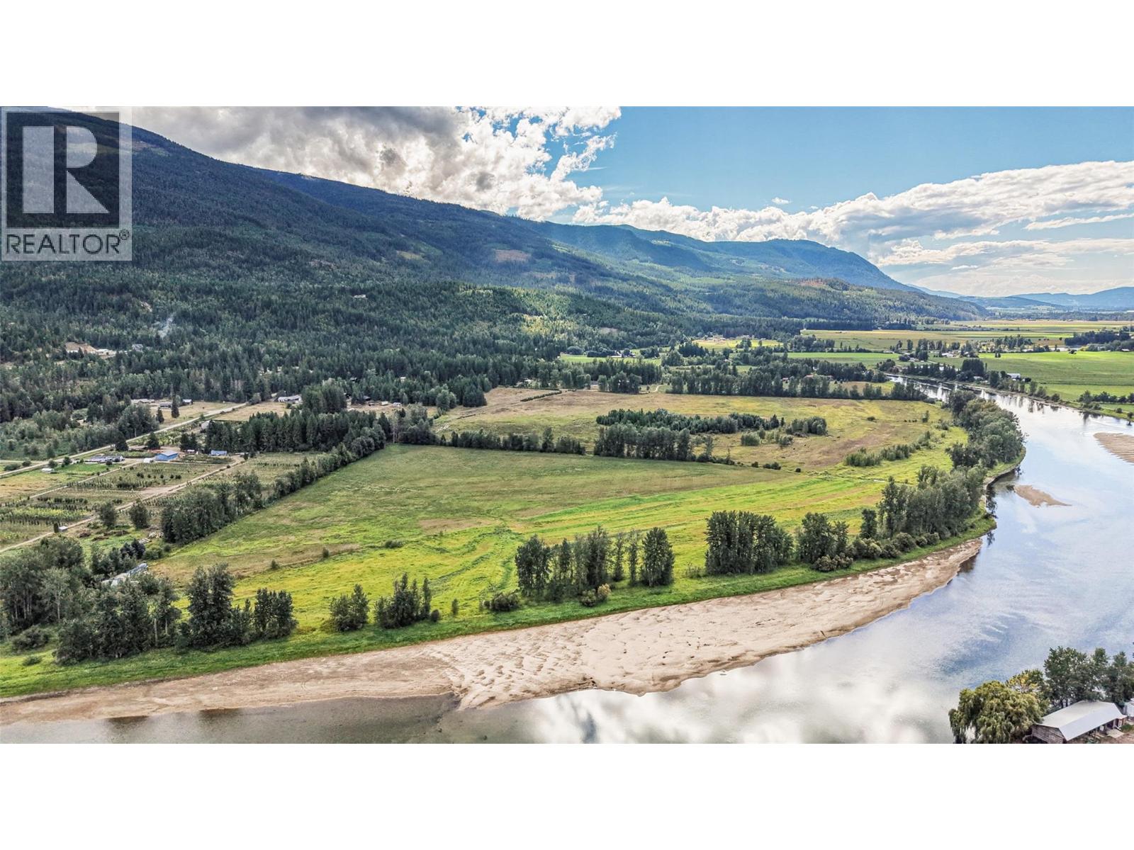
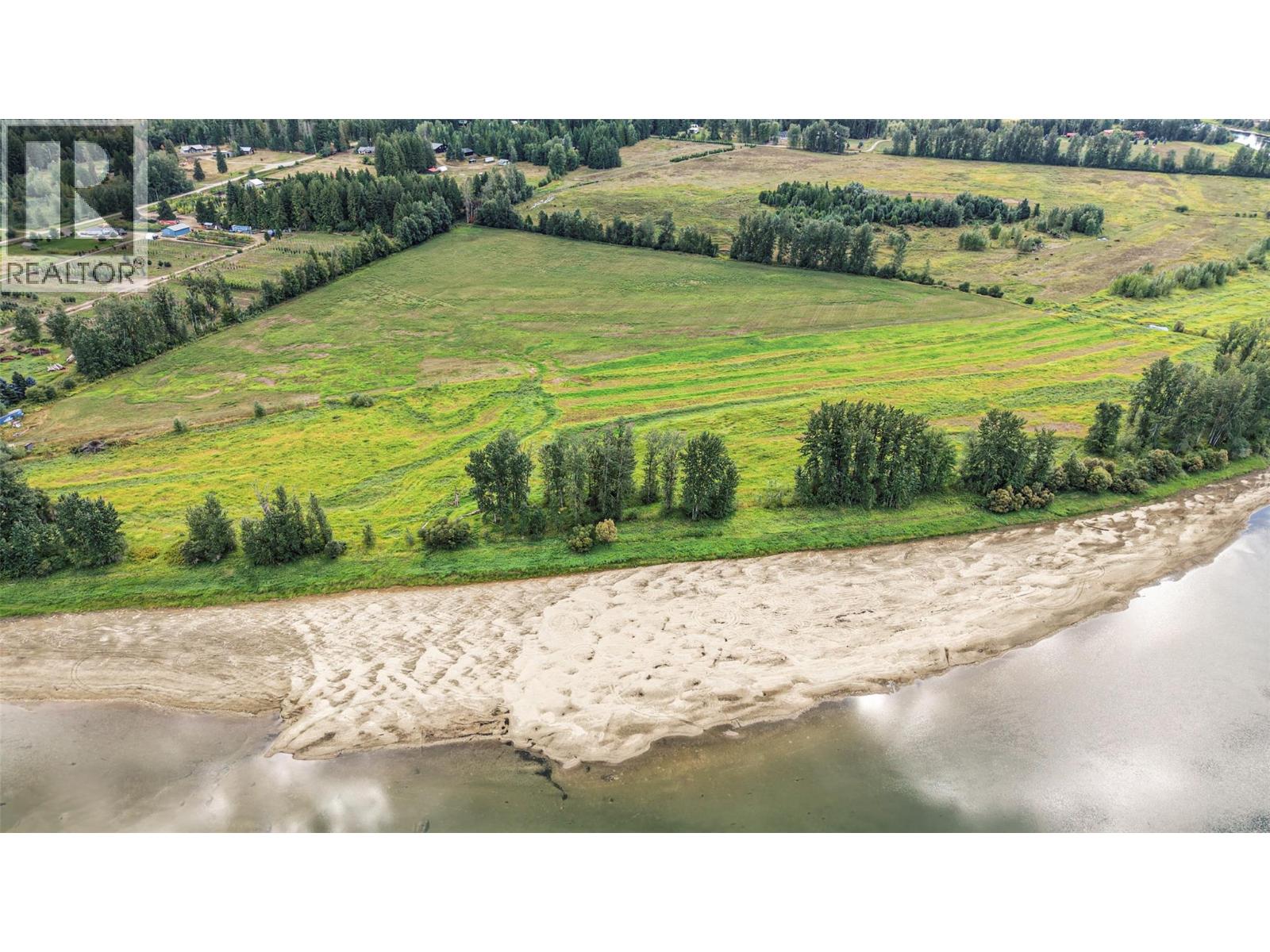
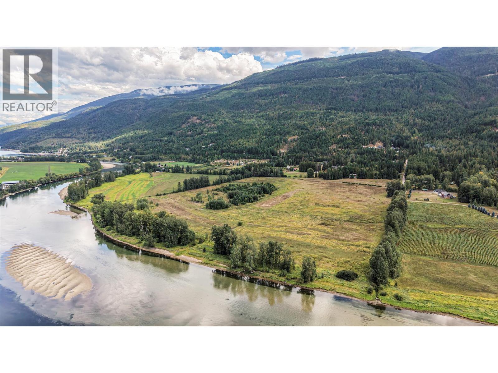
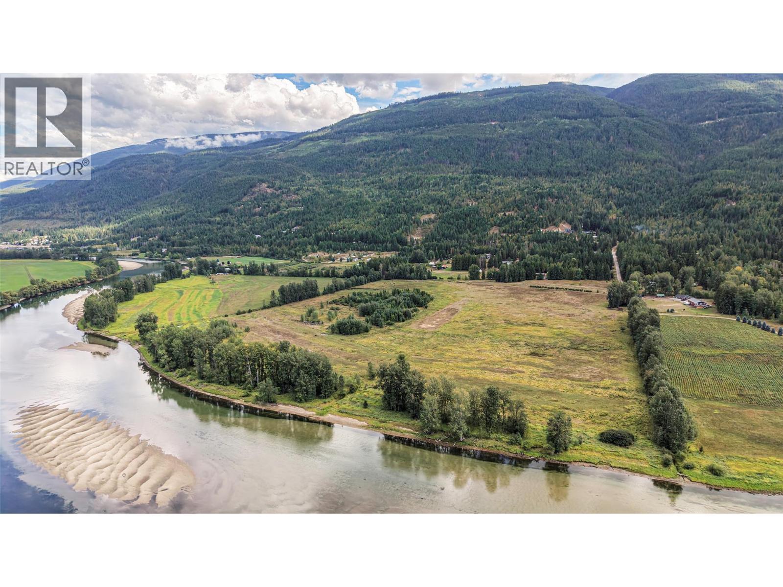
A rare opportunity to own 98.48 acres of licensed, irrigated farmland with approximately 1/2 mile of Shuswap River frontage at the south end of Mara Lake. This exceptional property combines productive agricultural land with a beautiful park like setting and easy access to the river’s sandy shoreline. Expansive open fields are currently planted in alfalfa and grass, offering excellent agricultural potential while providing plenty of space for recreation, privacy and enjoying the surrounding natural beauty. A significant water resource is provided by an artesian well producing approximately 200 GPM, equipped with a 50 HP submersible pump and buried irrigation mainline. Hydro service is available, and elevations have been surveyed to identify potential building sites, creating an excellent opportunity to explore your vision for a future home. With the Shuswap River at your doorstep, stunning mountain views and the recreational amenities of Mara Lake nearby, this property offers a unique combination of agriculture, riverfront living and recreational appeal. Whether you’re looking to expand your agricultural operation, create a private country retreat or secure a substantial piece of riverfront acreage, this is a property worth exploring. Riverfront acreage of this size and quality, offered at a fraction of the cost of comparable lakefront property, is a rare find. (id:67648)
The particulars
Property details.
Details below are supplied by the listing feed. Confirm measurements, rights, fees and taxes for the particular property.
Property and layout
- Property type
- Vacant Land
- Structure
- Other
Ownership and costs
- Ownership
- Freehold
- Annual property tax
- $116.33 (tax year not supplied)
Land and parking
- Lot area
- 98.48 acres
- Lot dimensions, as supplied
- 98.48
Setting and services
- View, as supplied
- Mountain view, River view, Valley view
- Waterfront features
- Waterfront on river
- Utilities
- Water, Natural Gas, Electricity, Cable, Telephone
- Water supply
- Well
- Sewer
- No sewage system
Location details
- Area
- Enderby / Grindrod
- City
- Mara
- Province
- British Columbia
- Postal code
- V0E2K0
The setting
Explore
the location.
Explore the map or open Google Maps for directions. The marker uses the listing address and does not indicate property boundaries.
Source record updated 12 Sep 2026, 01:55 UTC.