

Other
Offered at
$295,000
- Lot area
- 6.27 acres
MLS® 10393510
Listed by Stonehaus Realty Corp

The property
About this property.
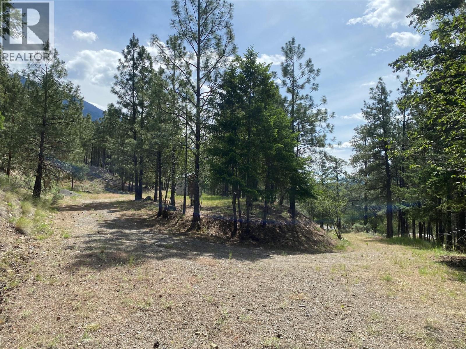
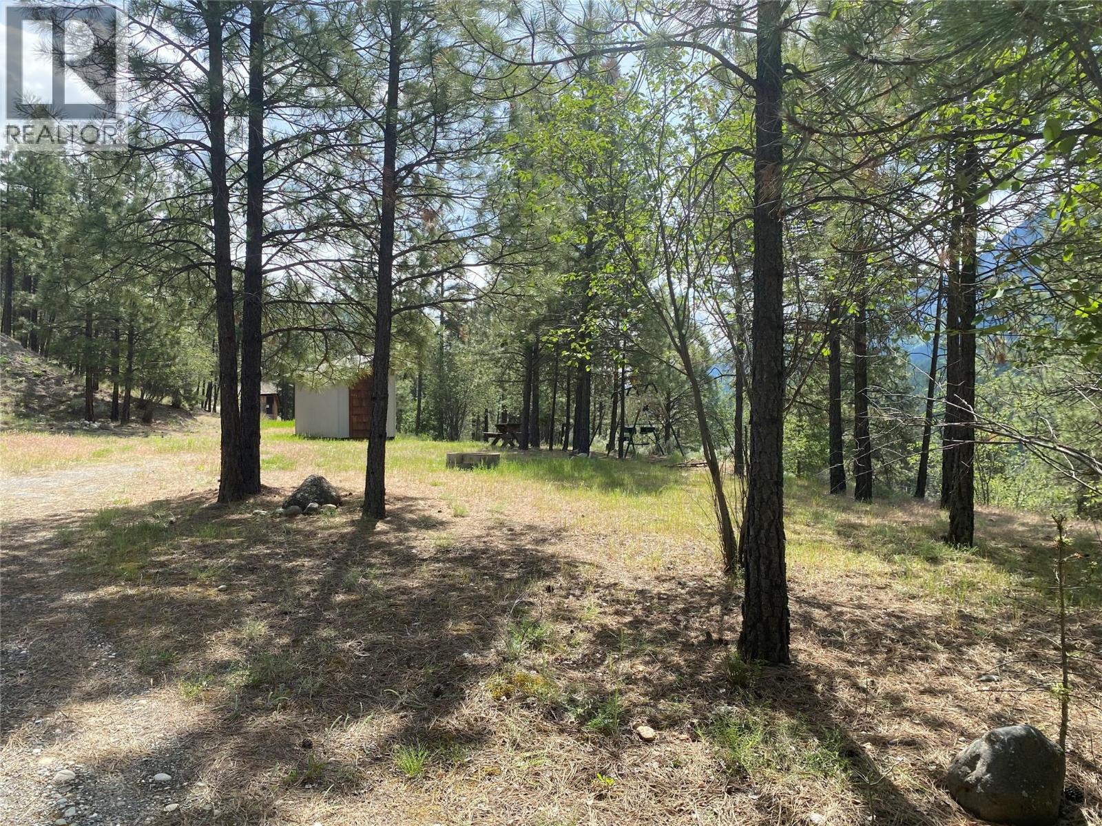
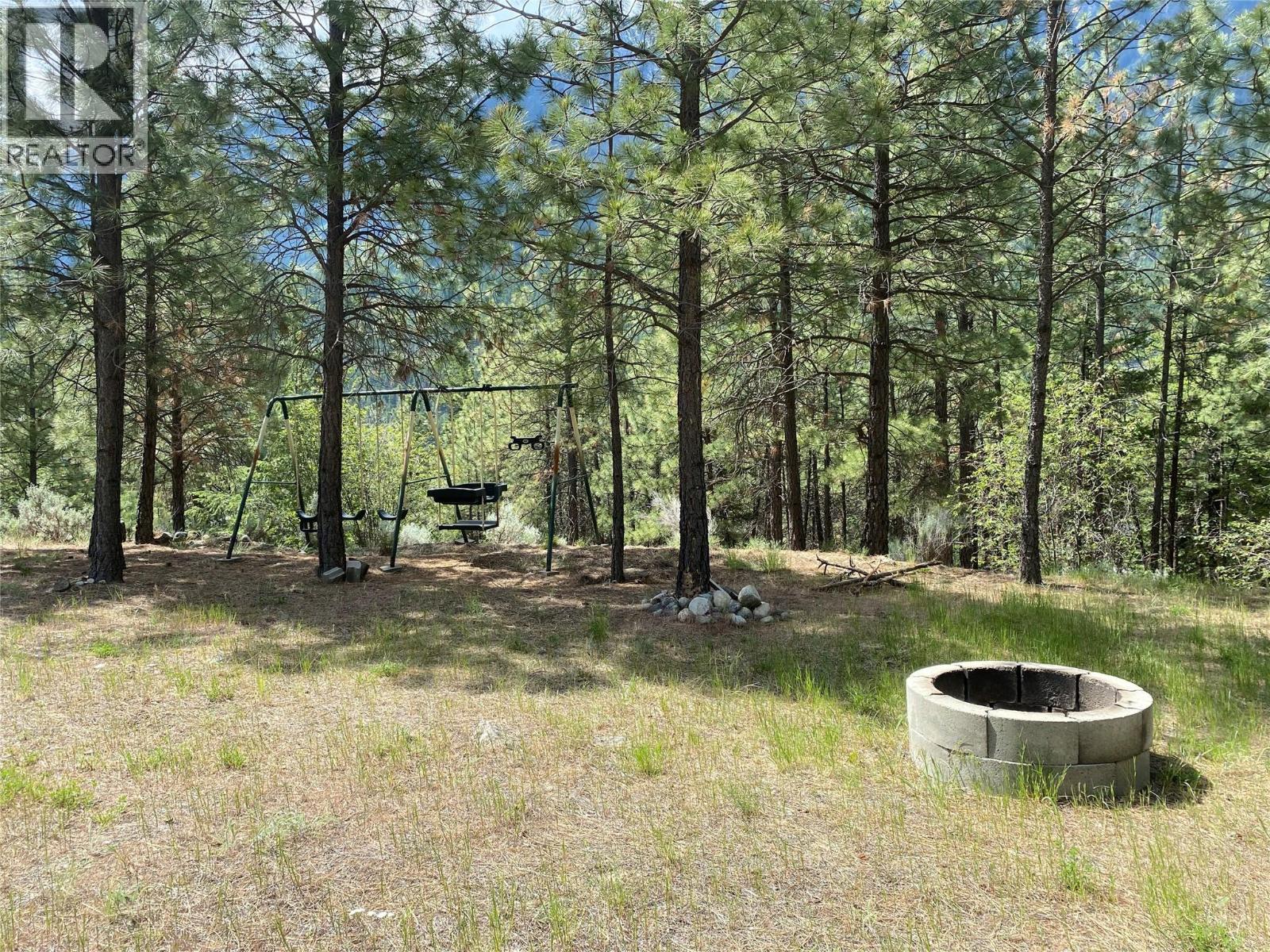
6.27 acres just minutes from Lillooet, BC, located on paved Airport Road just off Highway 12, five minutes from town amenities, restaurants, and services. Here is what the property actually looks like: roughly 4 acres of natural hillside rises behind the lot, giving you privacy and panoramic mountain views in every direction. The remaining area at the base is mostly flat and workable, approximately 2 acres, making it a genuine building canvas without the challenge of a fully sloped lot. That hillside is not wasted land. It is a natural privacy buffer that most buyers have to pay extra to create. A good amount of the groundwork is already in place. A 3,000-gallon cistern is installed, a gravel access road runs to the site, a phone line connects to the on-site storage shed, and hydro is available at the road. No well on the property; buyer to conduct due diligence on water options for their build. Zoned Rural Residential (RR2), this Lillooet acreage suits a full-time home, cabin getaway, or small-scale hobby farm. Buyer to verify permitted uses with the District of Lillooet. Lillooet is one of the sunniest communities in British Columbia, with a dry climate, access to world-class outdoor recreation, nearby rivers and mountains, local wineries, and a rich history rooted in Indigenous culture and the gold rush era. If you are looking for land with character, views, and a real sense of place, this is worth a look. Town amenities are five minutes away. (id:67648)
The particulars
Property details.
Details below are supplied by the listing feed. Confirm measurements, rights, fees and taxes for the particular property.
Property and layout
- Property type
- Vacant Land
- Structure
- Other
Ownership and costs
- Ownership
- Freehold
- Annual property tax
- $1,896.47 (tax year not supplied)
Land and parking
- Lot area
- 6.27 acres
- Lot dimensions, as supplied
- 6.27
- Lot features
- Private setting
- Fencing
- Other
Setting and services
- Community features
- Rural Setting
- Utilities
- Electricity
- Water supply
- Cistern
- Sewer
- No sewage system
Location details
- Area
- Lillooet
- City
- Lillooet
- Province
- British Columbia
- Postal code
- V0K1V0
The setting
Explore
the location.
Explore the map or open Google Maps for directions. The marker uses the listing address and does not indicate property boundaries.
Source record updated 7 Jul 2026, 14:25 UTC.